Summer-2021
Four people and two Daihatsu Feroza jeeps drove 2050 km in the central part of North Caucasus (Karachaevo-Cherkessia, Kabardino-Balkaria, North and South Osetia), of them ~600 km on small mountain roads and offroad. The total route was 5300 km, including arrival to Armavir, and return from Prokhadniy via Kalmyk region. We skipped hardest route stages of those planned, as travelling with a two-year-old baby appeared to be more difficult than expected; nevertheless, the whole journey took about three weeks. Click here for POIs, maps etc.
Route: Moscow - Voronezh * - Rostov-on-Don * - Armavir [route start]- Psebai * - Sebelda riv. - Dausuz * - Sofia riv. & wtrf. (Arkhyz) - Karachaevsk - Dombai * - Gum-Bashi pass. - Kislovodsk * - Narzan valley * - Kislovodsk * - mt. Bermamyt - Jily-Su lmrk. - Shaukol riv. * - Tyrnyauz - (Nalchik radial: borderpass collect) - Elbrus nat. park * - mt. Cheget / mt. Elbrus - Aktoprak pass - Bulungu * - Abai-Su wtrf. - Chegem riv. - Nalchik * - Beslan - Genaldon riv. - Koban * - Dargavs - Karmadon - Verkhniy Feagdon - Mizur - (border RU/SO) - Java - Tskhinvali * - Satskheneti - Trans-Caucasian road - (border SO/RU) - Sadon - Elkhotovo - Prokhladniy * [route end] - Georgievsk - Elista * - Millerovo * - M4 highway * - Moscow ( * = night)
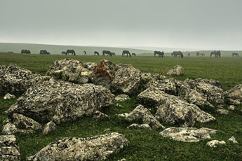
Bermamyt highland (40 km SWW Kichi-Balyk)
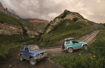
Aktoprak pass (8km SE Bylym)
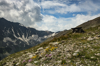
mt. Cheget (2km SW Terskol)
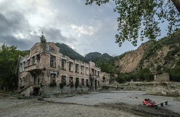
Sadon (NO)
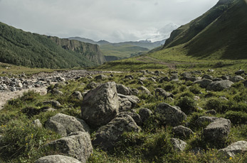
Malka riv. (3km SSW Jily-Su wtrf.)
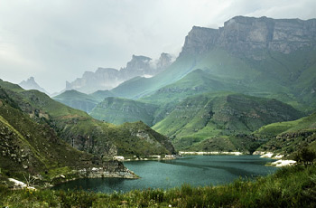
Gizhgit lk. (4km W Bylym)
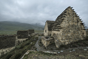
Dargavs (NO)
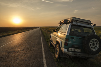
Kyvyudy - Elista
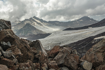
mt. Elbrus (7km NW Terskol)
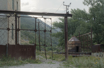
Tyrnyauz (KBR)
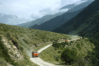
Dumala rd. (3km SEE Eltyubyu)
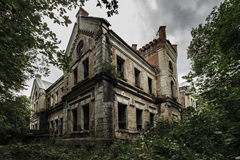
Khruslovka (Tula reg.)
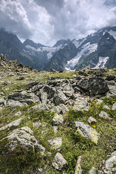
mt. Dombai (5km E Dombai)
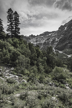
Sofia wtrf. (13km S Arkhyz)
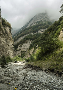
Genaldon riv. (5km NNE Karmadon)
Click on previews to view larger photos.